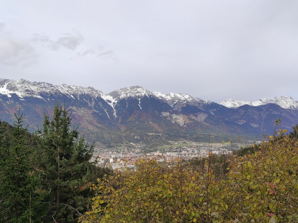
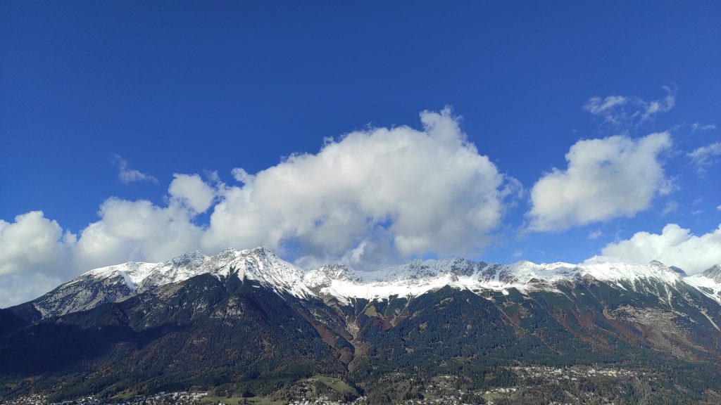
New Study Unravels Middle Bronze Age Farming Techniques in Germany’s Western Allgäu
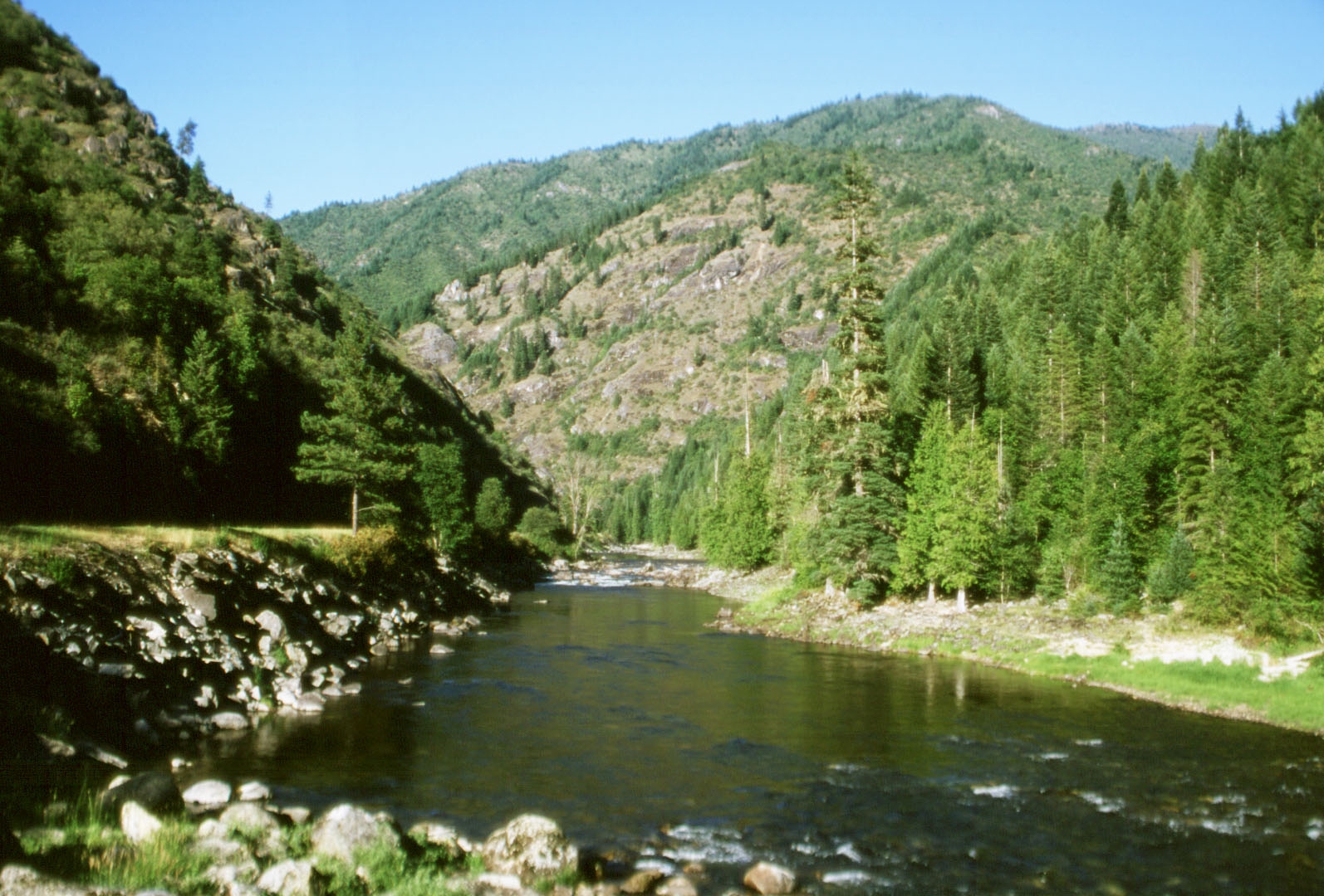
A recent study has provided fascinating insights into the subsistence farming practices of the Middle Bronze Age (MBA) in SW-Germany’s Western Allgäu region. Utilizing a multidisciplinary approach, the research team combined archaeological evidence with sedimentary and biogeochemical analysis to reconstruct the ancient farming activities in this historically significant area.
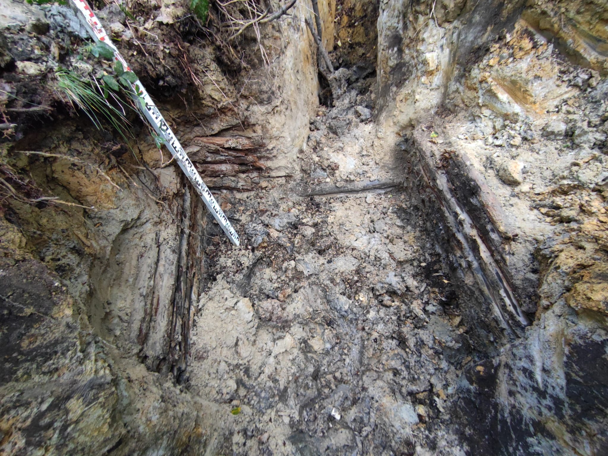
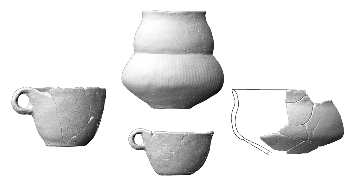
The research focused on multi-layered colluvial and alluvial deposits near MBA settlements. These deposits were dated using optically stimulated luminescence (OSL) techniques and AMS radiocarbon measurements of charcoal, providing a detailed chronostratigraphic framework. The study revealed phases of deposition and land use during the MBA, correlating with recently excavated inland settlements in the region. Multi-proxy investigations helped in reconstructing the subsistence farming practices of the era.
The results showed that the MBA economy in Western Allgäu was extensive and diversified. This reflects an adaptation of the MBA farmers to the harsh climatic conditions of the region, where crop yields were less predictable compared to other areas like near Lake Constance. The accumulation of charcoal and PAHs in MBA-related colluvial horizons is most likely associated with the use of fire to maintain an open landscape. Additionally, increased urease activity and the appearance of Juniperus indicate the importance of livestock farming within the MBA subsistence.
This study offers new perspectives on the subsistence strategies of MBA societies in agriculturally less favorable areas, providing a comprehensive understanding of ancient agricultural practices in the northern Alpine foreland. The findings have significant implications for our knowledge of Bronze Age farming and settlement patterns in the region.
References:
Scherer, S., Höpfer, B., Deckers, K., Fuchs, M., Kandeler, E., Lehndorff, E., Lomax, J., Marhan, S., Poll, C., Wroth, K., Knopf, T., Scholten, T., Kühn, P., 2023. Archaeopedological reconstruction of Middle Bronze Age subsistence farming in SW-Germany from sedimentary archives in the Western Allgäu. Geoderma Regional (35). https://doi.org/10.1016/j.geodrs.2023.e00715